Ark Mines (ASX: $AHK) announces sandy mitchell reconnaissance results
- Author: Stock Piper
Ark Mines (ASX: $AHK) announces Stage 2 air core reconnaissance drilling and initial results of Stage 3 auger sampling at Sandy Mitchell REE Project
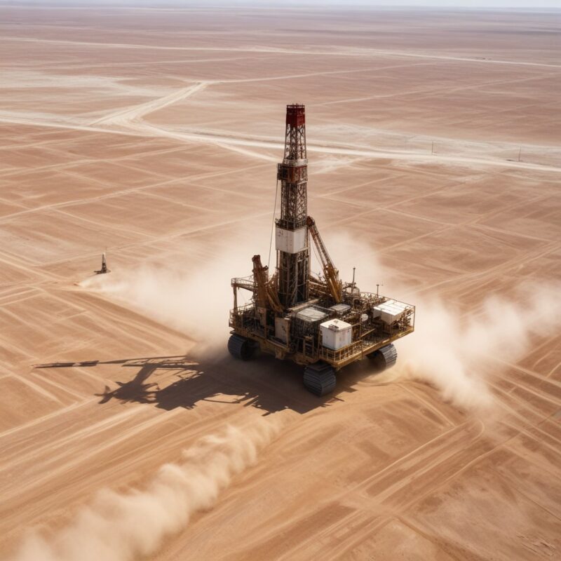
Ark Mines Limited (ASX: $AHK) has announced the results of Stage 2 air core reconnaissance drilling and the initial results of Stage 3 auger sampling at its wholly owned Sandy Mitchell REE Project in North Queensland. The reconnaissance air core and auger results show a 91 km2 area at Sandy Mitchell in which the thorium anomaly correlates with geology to outline prime REE and HM sand exploration ground. The air core data shows a mean mineral sand thickness of approximately 11m over the correlated area, with mineralisation from surface to the bedrock contact. Monazite equivalent grades within the correlated area average 1,308 ppm MzEq without application of a cut-off grade or sub-setting of significant intercepts.
Executive Director Ben Emery's perspective on the reconnaissance exploration results
Following the recent delivery of Ark's 21.6 Mt maiden mineral resource estimate, these outstanding comparable reconnaissance exploration results really put legs under the Sandy Mitchell REE Project. Importantly, the figures are indicative of mineralisation grades and depths that are consistent with drill results to-date across a vastly more significant target area, further underscoring the project's long-term development potential. It's great that our geology team had the foresight to implement this reconnaissance work while completing the resource drilling. It really puts weight behind our long-term planning and feasibility works, ahead of a planned Exploration Target and Stage 2 MRE which are scheduled for completion later this year.
Summary of Ark Mines' Sandy Mitchell REE Project reconnaissance results and outlook
The reconnaissance air core and auger results at Sandy Mitchell have outlined prime REE and HM sand exploration ground, with mean mineral sand thickness of approximately 11m over the correlated area. The monazite equivalent grades average 1,308 ppm MzEq without application of a cut-off grade or sub-setting of significant intercepts. The company intends to continue extending the Stage 3 auger sampling grid over the course of the 2024 dry season, followed by sampling of the southern uncorrelated area. These results further underscore the project's long-term development potential and are indicative of mineralisation grades and depths consistent with drill results to-date across a vastly more significant target area.